


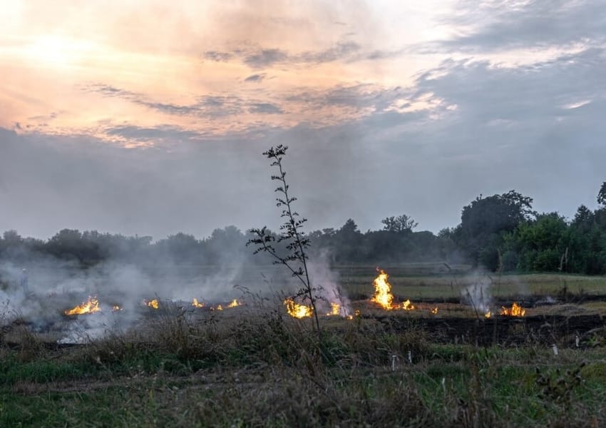


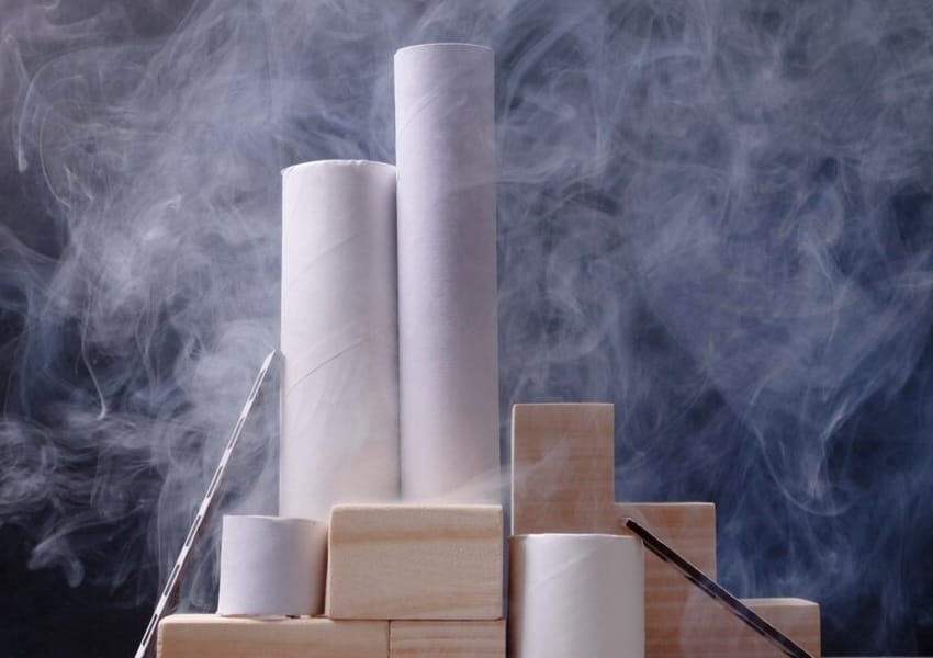


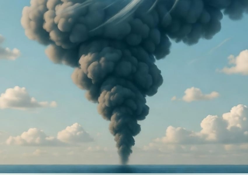


Late-afternoon Farm Fires Undermine Satellite Data: Study
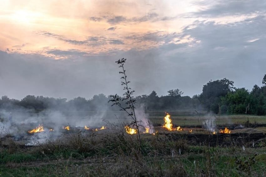
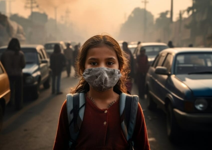
New satellite analysis shows that late-afternoon fires in Punjab and Haryana are being missed by traditional monitoring systems, revealing that stubble burning remains far more widespread than active fire counts suggest
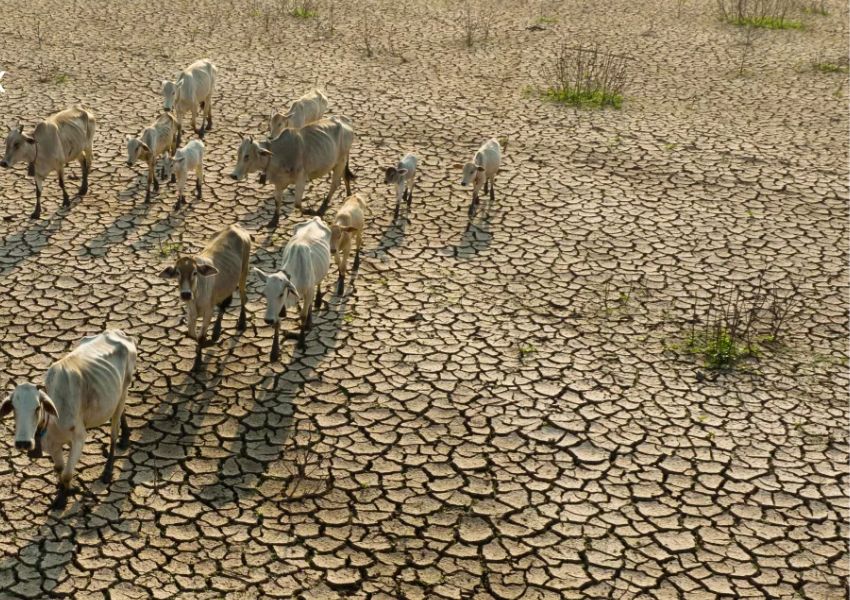
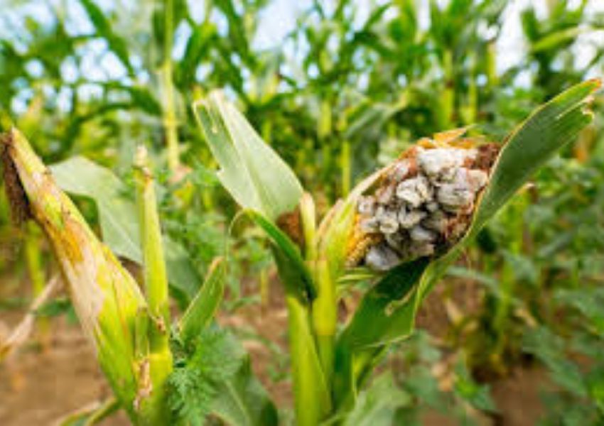
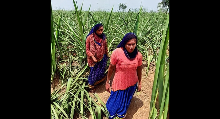
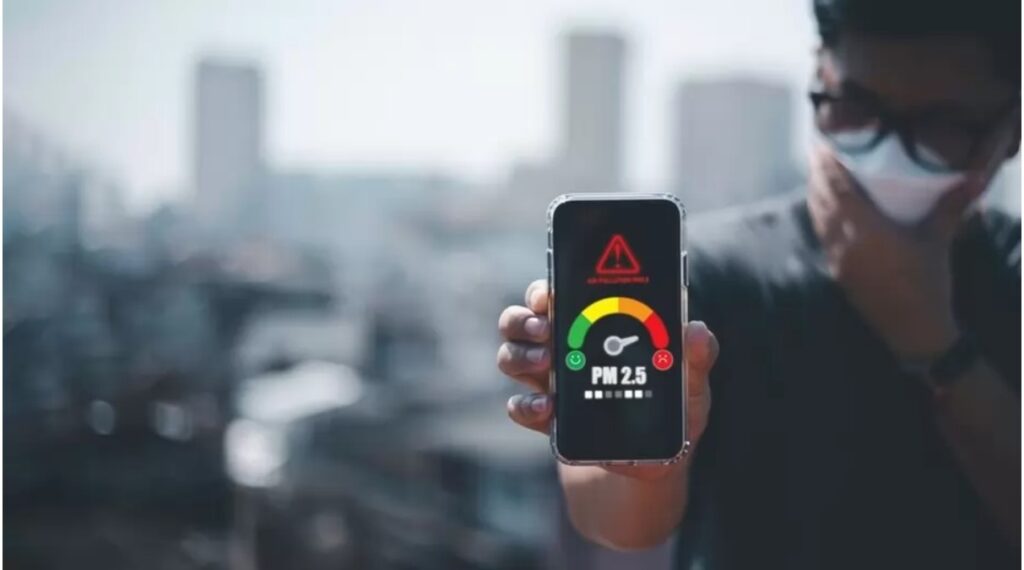
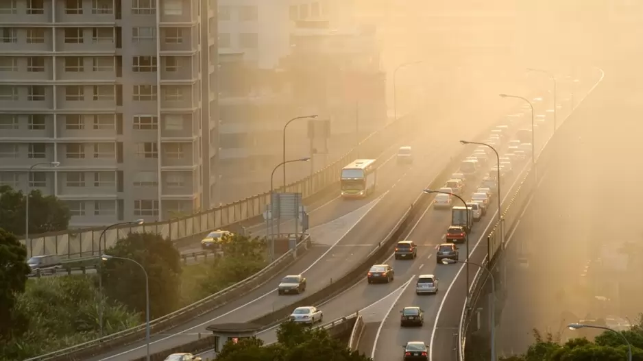
India’s official tracking of stubble burning may be significantly underreporting the scale of fires in Punjab and Haryana, as most large farm fires now occur outside the overpass times of widely used polar-orbiting satellites, according to a new analysis by the International Forum for Environment, Sustainability and Technology (iFOREST).
The study finds that MODIS and VIIRS satellites detect fires only between 10:30 AM and 1:30 PM., while the bulk of large-scale burning now occurs after 3 p.m. Instruments aboard Meteosat-8 and Meteosat-9 (SEVIRI), which capture images every 15 minutes from about 5:30 AM to 7:30 PM, reveal this shift clearly.
Stark Gap in Detection
In Punjab, over 90 per cent of large fires in 2024 and 2025 occurred after 3 p.m., compared with just 3 per cent in 2021. In Haryana, most large fires have taken place after 3 PM since 2019, suggesting that MODIS and VIIRS have been undercounting fires for several years.
Active fire counts from MODIS and VIIRS indicate a sharp decline in 2025, 92 per cent in Punjab and 90 per cent in Haryana compared with peak levels in 2021. However, SEVIRI data suggest that these reductions are overstated.
Burnt-area Trends Tell a Clearer Story
Mapping from Sentinel-2 MSI shows a more moderate decline. Punjab’s burnt area during the Kharif season fell from a peak of 31,447 square kilometre in 2022 to about 20,000 square kilometre in 2025, a 37 per cent reduction. Haryana’s burnt area decreased from 11,633 square kilometre in 2019 to 8,812 square kilometre in 2025, a 25 per cent decline. Burnt area in Haryana has fluctuated between 7,000 and 10,000 square kilometre since 2020, showing no consistent downward trend.
Overall reductions of 25 to 35 per cent stand in stark contrast to the more than 95 per cent decline suggested by active fire counts.
Policy Signals for Air-Quality Management
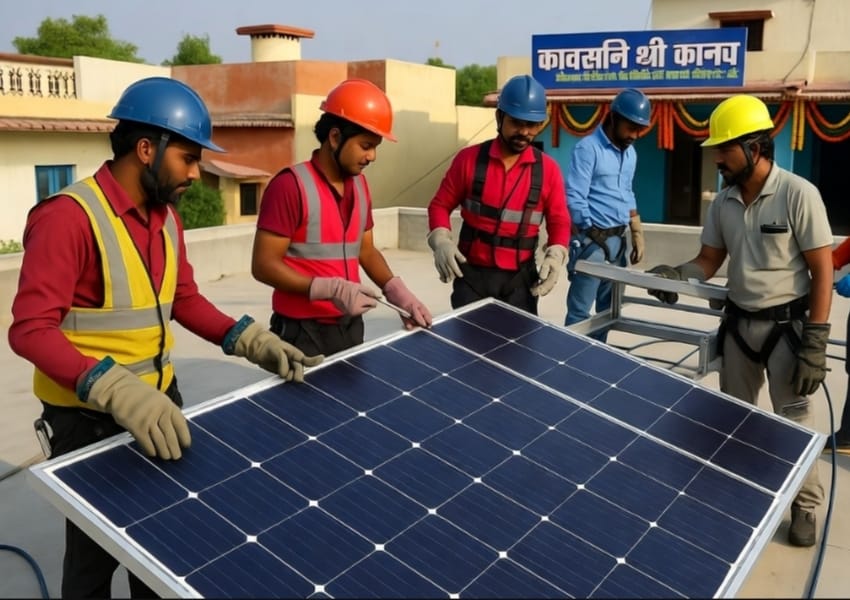
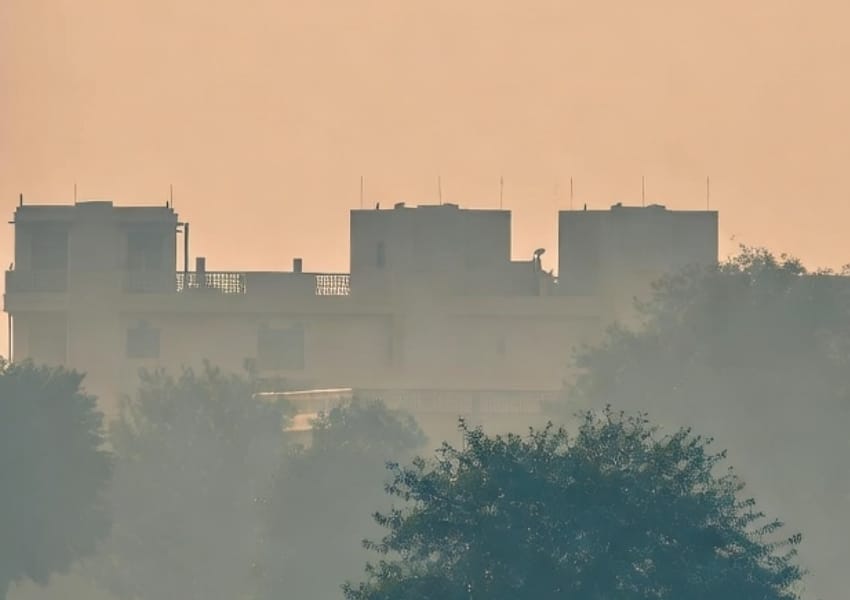
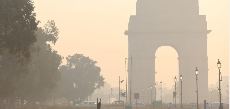
The findings indicate that efforts to curb stubble burning through in-situ and ex-situ practices in Punjab and Haryana are yielding some results, but large-scale burning continues. Around 20,000 square kilometre are still burnt in Punjab, and nearly 9,000 square kilometre in Haryana, with visible impacts on air quality in both states and Delhi-NCR.
The study also notes rising stubble burning in other states, including Madhya Pradesh and Uttar Pradesh. While burnt-area estimates were not calculated for these states, active fire counts suggest an upward trend, highlighting the need for a wider policy focus beyond Punjab and Haryana.
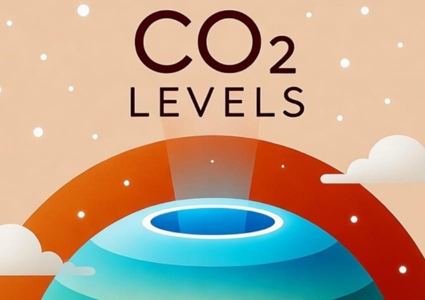
The report warns against heavy reliance on active fire counts for estimating pollution loads, stating that such an approach can lead to significant inaccuracies. It recommends revising the methodology of the Decision Support System used by the Indian Institute of Tropical Meteorology to better quantify the contribution of stubble burning to Delhi’s air pollution.
Finally, the study calls on the Commission for Air Quality Management (CAQM) to begin monitoring and publishing burnt-area data, ensuring a more comprehensive and accurate picture of stubble burning across India.